Land and Structural Surveying
Products
  • Zenith 60UNIT product template
    ATOM α Pro
    1408 channels with advanced GNSS chipset Supports GPS, GLONASS, BEIDOU, Galileo, QZSS, SBAS, IRNSS 120° IMU tilt compensation (calibration free) Green laser RTK measurement ±1 cm + 5 mm/m (up to 60° tilt) Visual stakeout with AR camera (5MP HD, wide angle) Next-gen SoC technology with 64 GB internal memory Long-range internal radio up to 15 km (1/2 W switchable) Supports 4G, Wi-Fi, Bluetooth 5.2, NFC Fast USB Type-C charging, 7000 mAh internal battery Up...
    READ MORE
  • FARO LASER SCANNER
    FARO LASER SCANNER

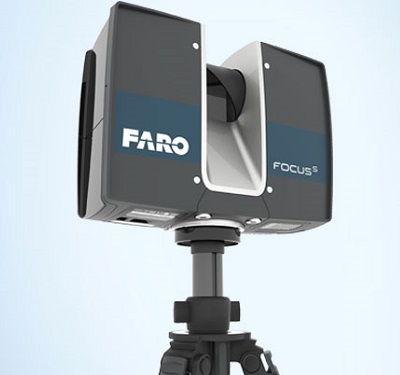
    Distance accuracy up to ±1mm
    Range from 0.6m up to 150m
    IP Class 54
    On-Site Compensation
    Rescanning of distant area in higher resolution
    Retake Photo Option
    Accessory Bay
    HD photo overlay up to 165 megapixel color

    READ MORE
  • Autolevel
    BEARING BL Series Automatic Level

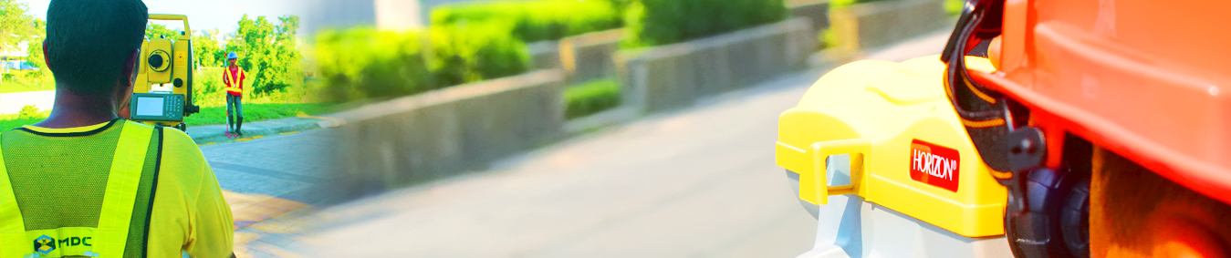
    Tough for roads, constructions site, and other leveling projects.

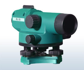
    optional lens magnifications 26x, 30x, 32x

    magnetic compensator

    IP 54

    Economical, Precise, Quality

    READ MORE